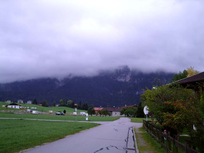
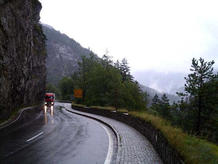
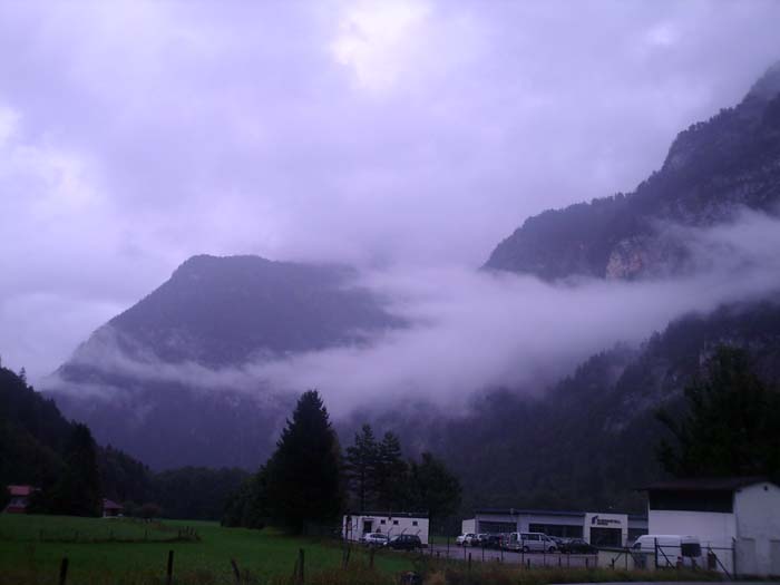
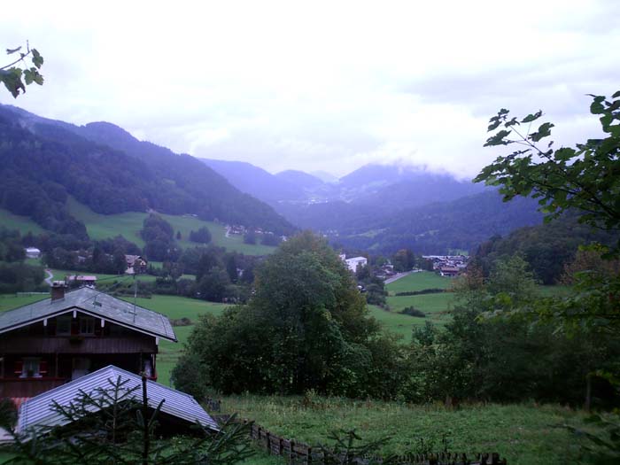
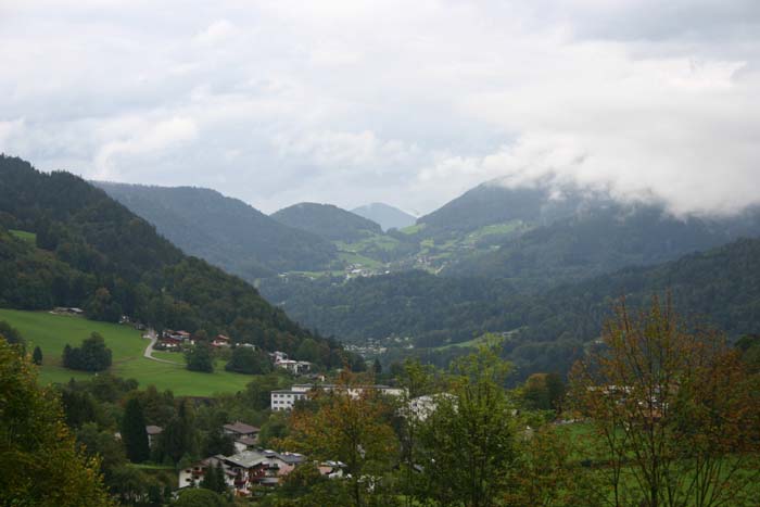
From the moment we got up and looked out the window, we could tell this was going to be another one of those days...the ones where you say "This would've been really beautiful and scenic if the rain wasn't ruining it." Nor were we mistaken. You can see in most of the photos hereafter that the skies are gray and everything just looks washed out. That's kind of how we felt all day long. The temperature was in the 60s, so it wasn't too terribly cold, except the rain was steady all day and just sort of ruined the experience.
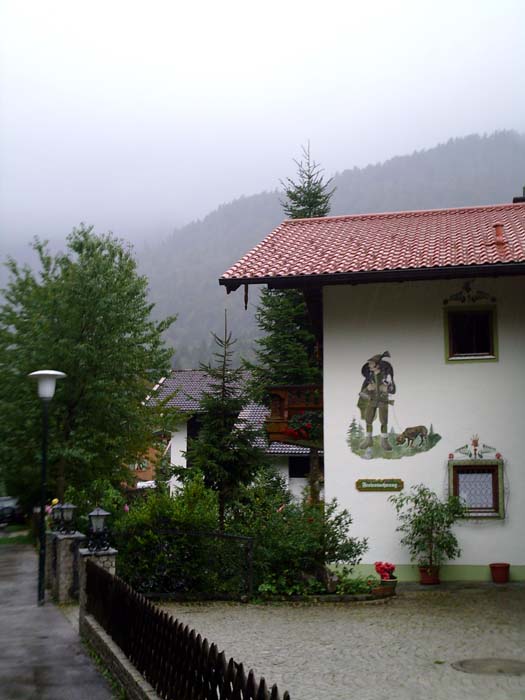
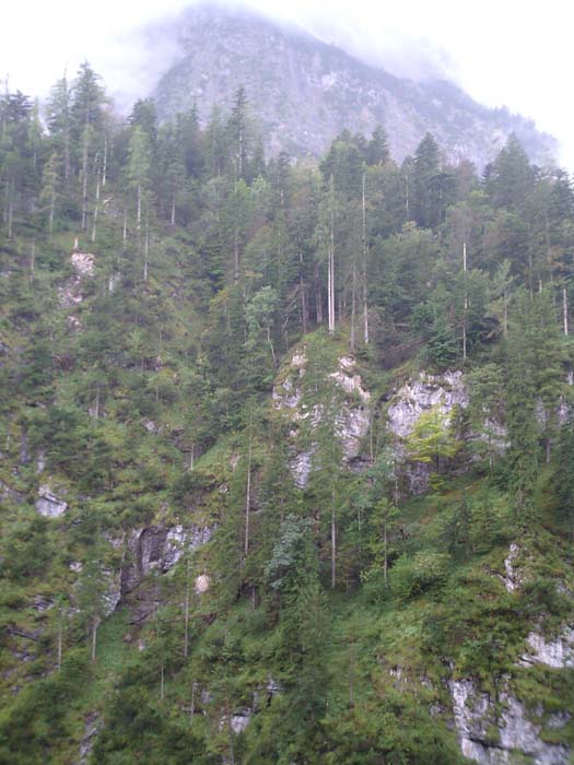
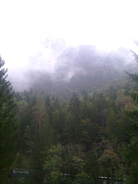
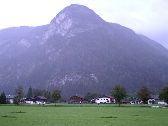
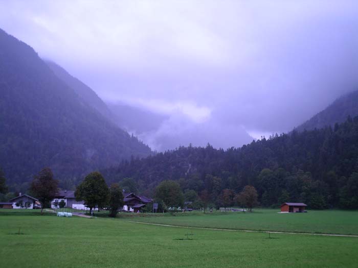
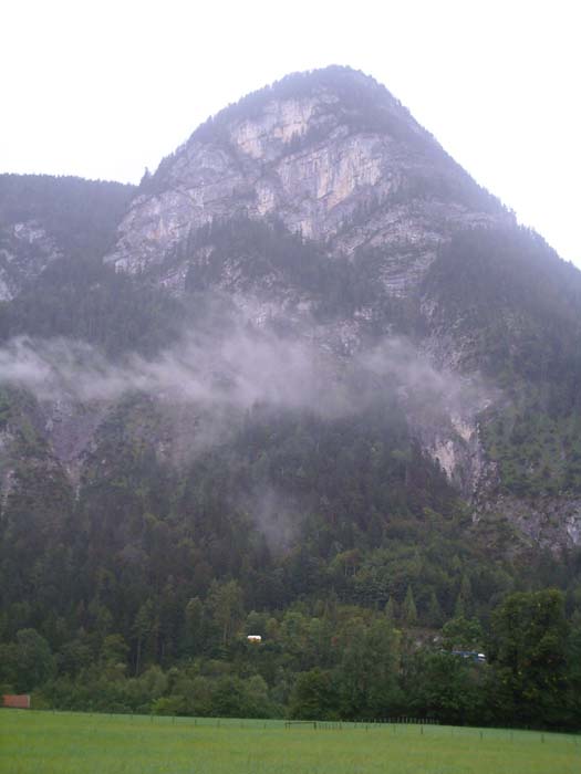
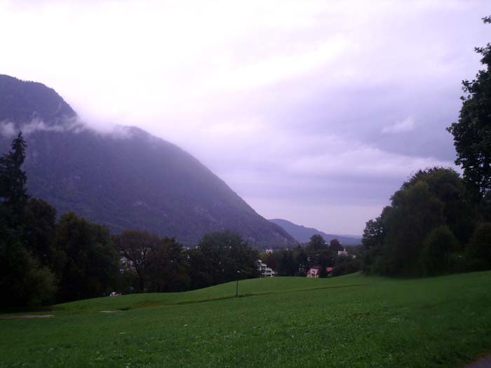
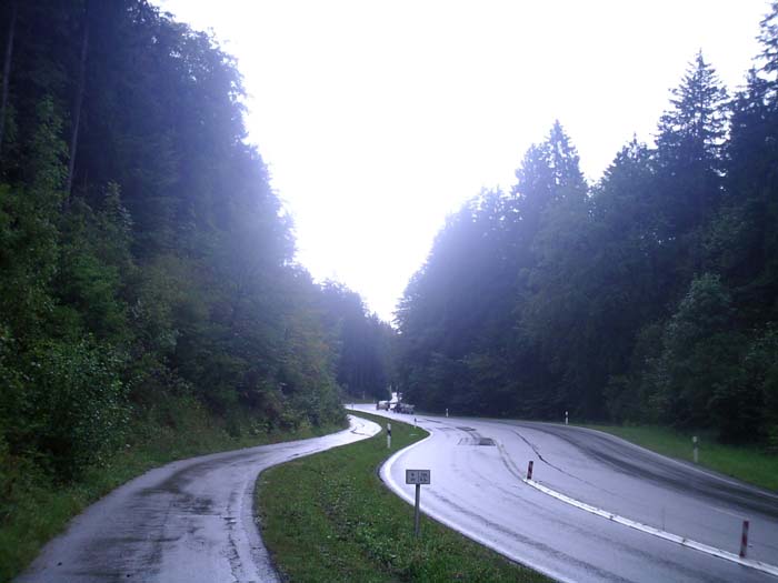
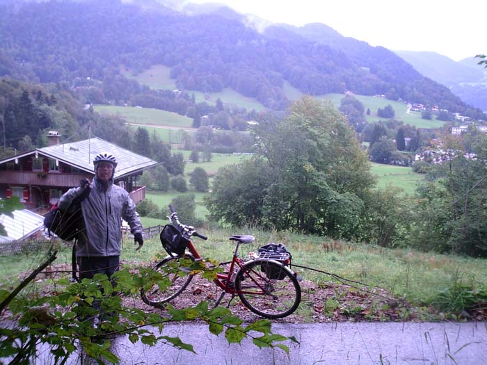
Anyway, after getting breakfast (I stuck with the cold cereal again, since it seems to be working) we set off a little after 10 and headed out of the hotel into the cold and damp. Here, let me share a couple pictures of the area around us so you can compare with yesterday's much better photos. At least the clouds hanging over the mountains were kind of neat.
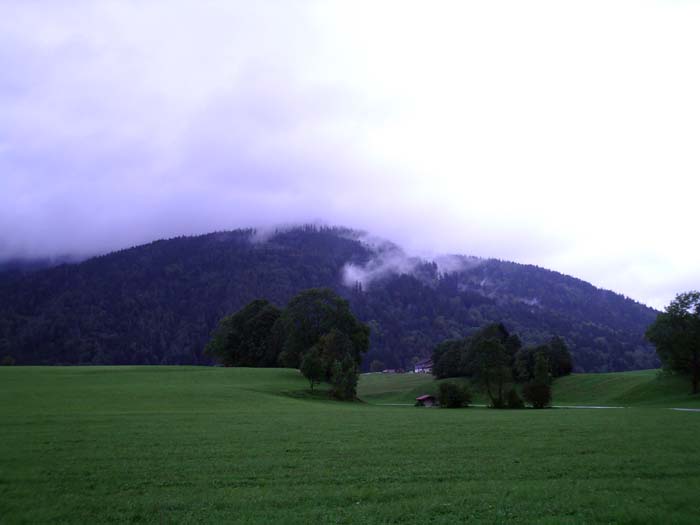
This one's kind of cool because you can see the clouds poking out from behind that mountain in the foreground.
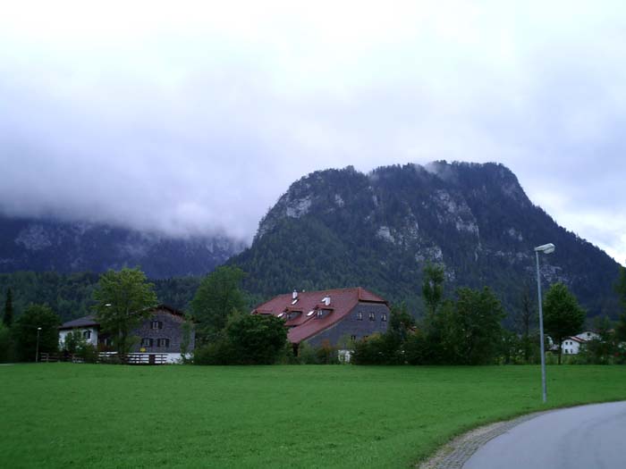
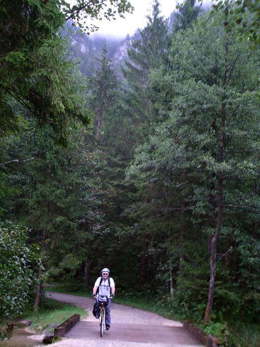
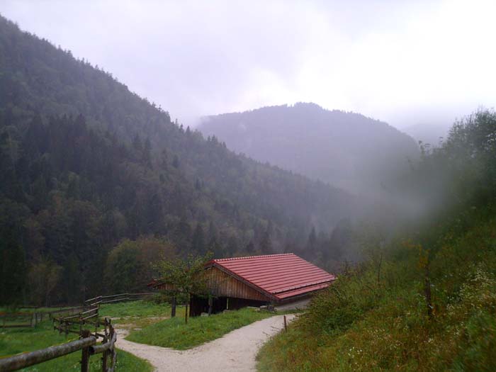
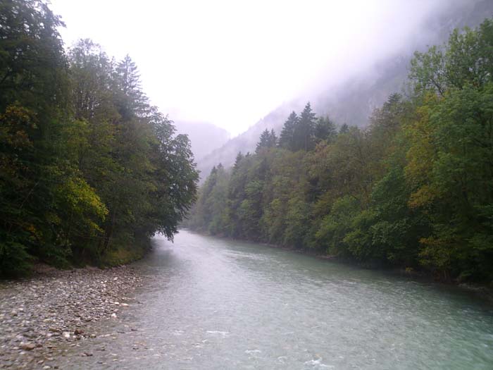
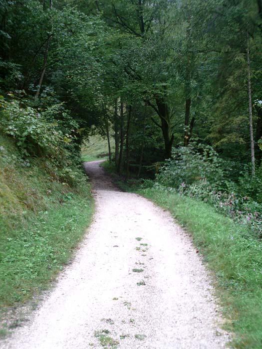
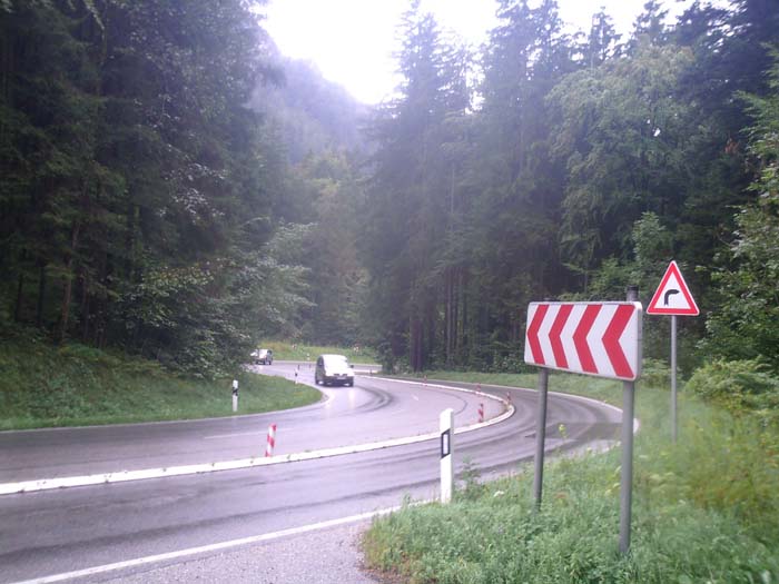
Instead of heading directly to the first town on our route (Schneitzlreuth), which would've taken us along a busy motorway over a mountain pass, we instead got on yet another crushed gravel path that led around a mountain called Falkenstein. This 5km loop took us through some nice forest and past some good views like this one:
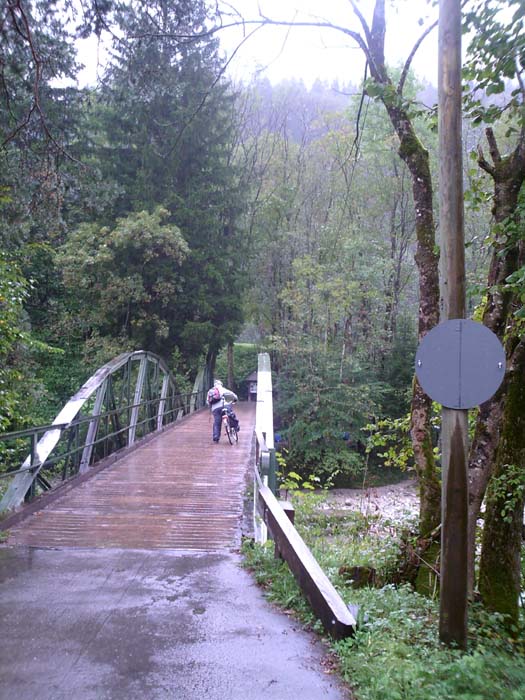
Here's a shot of Kelly crossing over a bridge at another smaller river:
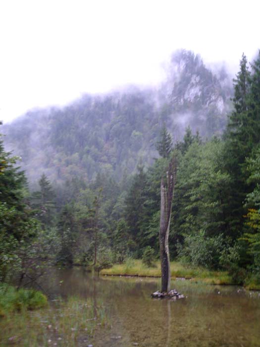
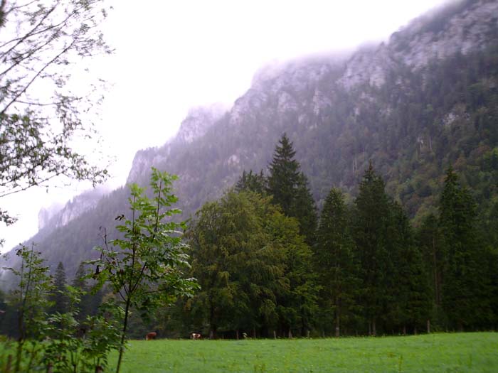
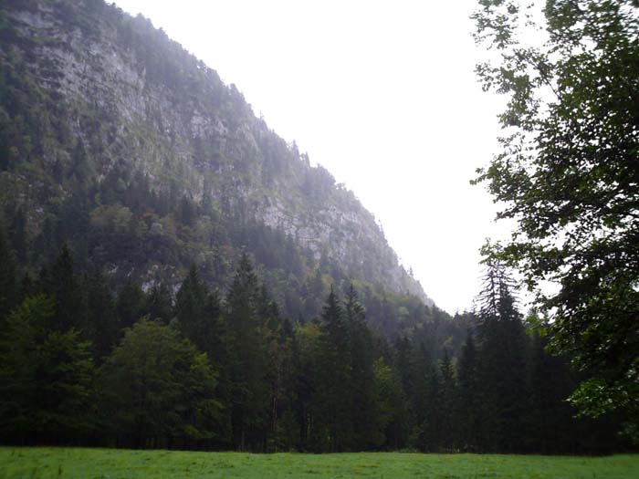
Coming out of one part of the forest we were treated to this sight (panoramic double shot):
 |
 |
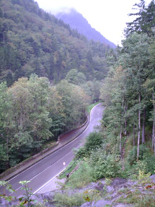
After this the loop rejoined the motorway, but unfortunately we ran into a problem wherein the "E" symbols we were following just up and disappeared, and the text instructions led us the wrong way (actually it turned out they were the right way, it's just the turnoff looked like somebody's driveway so we bypassed it the first time). Anyway, after going about half a kilometer too far, we wound up on a kind of overlook sitting about 100 feet above the road with no way to get down to it. Here's the view from above.
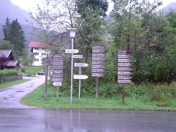
After going back and trying the little unmarked driveway, we managed to get to the main road shown above and hurtled down it at breakneck speeds for a kilometer or so. This brought us into Schneitzlreuth, not exactly a large town (but then most of the towns we're going through are pretty small). Here's a random shot of one of the streets:
Okay, which way do we go? So many choices...
We did figure out how to get through town and emerged onto another set of country roads leading to our first major climb of the day. Here's some of what we got to enjoy while battling our way up the steep incline:

A view looking back the way we came:
More scenery that would've looked great if it weren't for the weather (the mountain on the left just keeps on going up):
 \
\
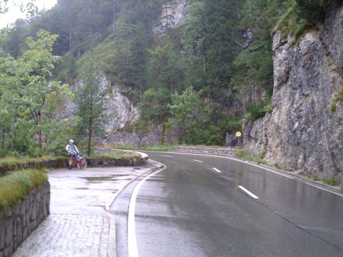
Then we had to get back on that narrow, slippery, dangerous roadway and weave our way through the hills...this is what it looked like at one of the few spots we were able to pull over long enough for a photo:
Just to try to give you an idea how massive the mountains were on either side of us at one point (as we went through this pass) here's a picture where the bottom edge is level with where I'm standing. The mountain keeps right on going up over the top of this photo and out of sight into the clouds.
A look back at the wet roadway right where I took the above photo (stupid rain):
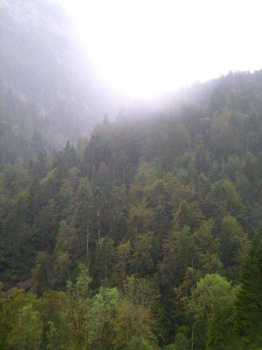
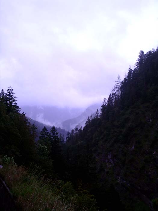
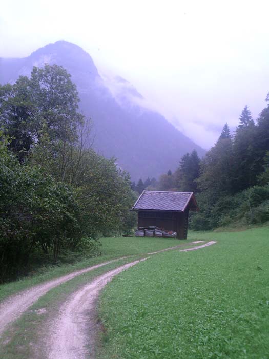
More random scenery from this area:
Yes, we had to ride our bikes on this muddy dirt path (sigh)...next time we specify road touring only!
Okay, now we did our best to get lost again. We were trying to get to a town called Bad Reichenhall (actually a fairly sizeable town which shouldn't be that hard to find). Here's what the instructions said (and I quote):
"Turn left, cycle through the bridge, follow the road, immediately afterwards turn right across the bridge, then turn right again, following Taurenradweg." (The last being the name of the bike path we were on.) Sure, that's not too confusing, especially when we had handy "E" markers to show the way. Right?
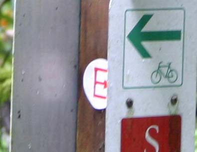
So then we get to the spot where this set of instructions begins and we come to this sign right before a bridge, which seems to indicate we should....uhh...turn left....but then we can't cycle through the bridge which is on our right (the left turn takes us down a slope away from it). Ah but we can always follow the sign to Bad Reichenhall...but wait there are signs pointing BOTH WAYS. (sigh) Soooo what about that handy "E" there just below? Ah, it's pointing right (see the close-up), so okay that must be the way to go...head that way, across the bridge, then we find another "E" pointing left, which makes no sense based on the instructions above, but okay it's an "E" so it must be right and off we go...then 2 kilometers later there's a gate with a big "VERBOTEN" sign on it blocking any further progress.

So back to the bridge we go and this time we go the opposite way the "E" is pointing, and it takes us to a path under the road, back up and around, and across to the opposite side of the motorway, where after crossing back we find ourselves in the same place again. Eventually we figure out to go back where we just were and continue on. The entire set of instructions was supposed to take us under the motorway so we didn't have to cross it, when just sending us across and turning left woud've saved us all this trouble. But the "E" pointing the wrong was is unforgivable and the tour company's going to hear about that one at evaluation time.
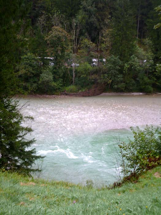
Anyway, moving right along (finally) we followed the river and got some more nice shots:
We had to follow roads for a while today (which was pretty uncommon for this trip, most of the time we were on bike paths). Here's a couple pictures of one such road (how nice of them to give cyclists their own lanes). These two photos are taken as we took a break during a 4km climb that turned out to be the worst one of the day, right near the end of the trip. The path here isn't that steep yet, but it got much much worse.
After enduring that climb we got onto more level ground and eventually made it over the top to get this view of our destination for the day, Berchtesgaden:
This was going to be an awesome shot and then some camera hog jumped in and ruined it!
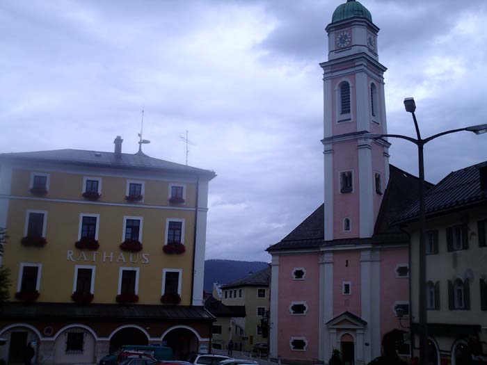
Berchtesgaden turned out to be a really scenic place (that would've looked better without the gray skies and rain and blah blah blah). Here are a couple photos of the town center, and the beautiful old church just off the town square. (Note: Rathaus = town hall)
We weren't quite done yet, as the hotel we were in this evening wasn't downtown, but a couple more kilometers down the road. This time there were no "E"s so all we had to go on was some more vague instructions. "From the town hall through the arch" (there were 2 arches, one in either direction, so we had to guess which one) "through two other arches" (these were beyond the church) "at fountain keep left, turn into Bahnhofstrasse" (a cross street that had a different name to the right, and to the left the street name was on a wall so far away you couldn't see it from where we were, so the only way to find it was to go all the way down and have a look...would've been nice to say turn LEFT into Bahnofstrasse) "turn left direction Konigsee, at roundabout continue direction Festplatz" (there were no signs anywhere for Festplatz) "then on cycle path" (for which there were no signs and no way to tell where it was) "along the river Konigseeache, about 1 km you reach the hotel on the left." We managed to find it only by asking directions, as it was completely impossible given that line of text to locate the hotel without help. Just the "Festplatz" thing had us circling the roundabout for 10 minutes utterly baffled by what to do, as there were sidewalks and crossings everywhere with nothing to indicate where a cycle path began (it actually started on the other side of some buildings two turns away from the intersection). Oh and you couldn't see the river so you couldn't even use that as a landmark.
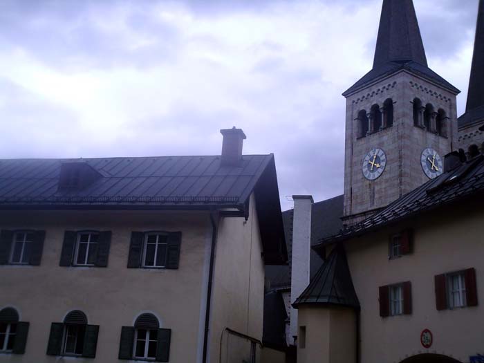
Anyway, I guess trying to find your way in situations like this is part of the fun. Here's what the hotel looked like, once we actually found it:
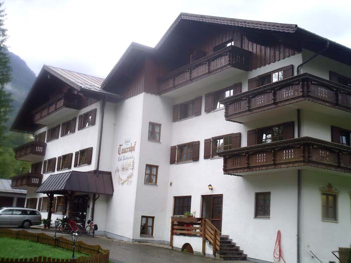
Another place where English wasn't spoken much. I did get free Internet, but there was no chance of getting any ice. The people in the restaurant didn't speak English OR German, they were Italian. In fact, when we went down there for food, we got a surprise...seats were assigned by room number (we never had that happen before) and then they didn't give you menus or any kind of choices (except for beverages). They just started bringing you stuff: a salad with smoked salmon (I picked out the fish), some kind of meat soup which was awesome, a main course of beef with gnocci (we were guessing there) and then a couple scoops of ice cream for dessert. Apparently this was part of the room fee because the only thing we got billed for was the drinks (3.40 euros for a glass of soda...sigh, that was more than Kelly's beer). Dinner did, however, take over 2 hours.
Anyway, time to get some sleep. Tomorrow we finish off the tour back in Salzburg.